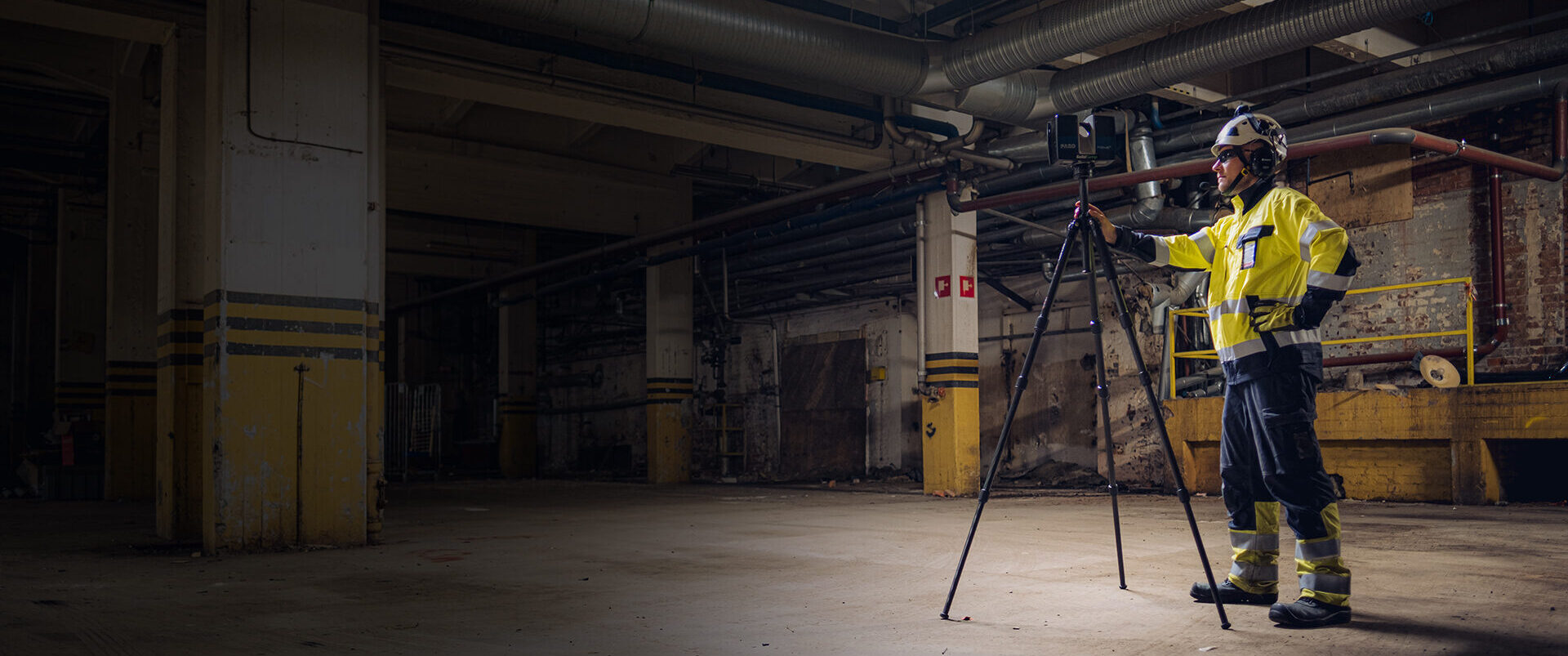
The price of a laser scanning project is affected by the size of the area to be scanned, the complexity of the site, the required accuracy, the selected scanning method, location, safety requirements and the scope of post-processing. The need for a coordinate system, delivery formats, possible 3D modelling and schedule urgency also affect the overall scope.
Floor area alone does not always indicate the actual amount of work. An open hall can be documented much faster than a process area of the same size with several levels, pipework, equipment, blind spots and access restrictions.
You can get an indicative estimate using SolidComp’s price estimate calculator. The calculator helps you understand the project’s cost level before submitting a formal request for quotation.
Go to calculator
A good request for quotation for laser scanning includes information about the area to be scanned, intended use, required accuracy, site location, schedule, safety requirements, existing coordinate system and desired delivery formats.
It is also useful to include floor plans, area maps, photographs, existing scan data, control point lists or other source material if available. Not all information needs to be ready at the first point of contact. We can help define the project scope and select the right implementation method.
Download the Buyer’s Guide

How to request a quotation
The end result of a laser scanning project is always defined according to its intended use. Deliverables may include a point cloud, surface model, 3D model, 360 images, drone data, orthophoto, reports, analyses or a Reality Twin environment.
The data can be delivered, for example, in E57, PTS, PTX, ReCap, NWD, OBJ, STL, DWG, IFC, RVT or STEP format, depending on the needs of the project. In SolidComp’s industrial laser scanning projects, the basic delivery can include, for example, a point cloud in ReCap and E57 formats and a triangulated, coloured mesh model for Navisworks use.
If the data will be used by several parties, such as a design office, maintenance team, HSEQ team, production or external contractors, the delivery formats should be defined at the start of the project. This ensures that the data is compatible with the software used and serves the needs of different user groups.
A laser scanning project begins by defining the need and intended use. First, we determine what area needs to be documented, how the data will be used, what level of accuracy is required and in which format the data should be delivered.
After this, the right scanning method is selected, fieldwork is planned, scanning is carried out, the data is processed and the material is delivered in the agreed format. When needed, the data is taken directly into the Reality Twin environment, where it can be used more widely in design, maintenance, safety, training and decision-making.
Read more: Laser Scanning Project from Start to Finish

Smooth fieldwork starts with good advance planning. The customer should appoint a project contact person with whom SolidComp can agree practical arrangements before the scanning date.
Before the fieldwork, access permits, possible work permit procedures, safety training, driving permits, photography permits, imaging restrictions and required personal protective equipment are agreed. In industrial sites, access to certain areas may also require the customer’s own inductions or other site-specific requirements.
Scanning can often be carried out while production is running. In some situations, however, the work should be scheduled during a shutdown, alongside maintenance work or at a time when a specific area is free from other activity. If demolition, installation or maintenance work is taking place on site, the scanning is coordinated with those schedules.
On the scanning day, it is important to ensure access to all agreed areas. The areas to be scanned, possible restrictions and especially important points are reviewed once more on site. If the work reveals a need for additional areas or more detailed scanning, the procedure is agreed with the customer’s contact person.
SolidComp always follows general industrial safety requirements as well as the customer’s own working and safety instructions. When needed, areas can be restricted, isolated or measured using special arrangements.
Traditional laser scanning is suitable for accurate as-built documentation and as source data for design. It is the right choice when reliable geometry, millimetre-level accuracy and data are needed for purposes such as pipework design, modification work, clash checks or installation verification.
Mobile laser scanning is suitable for rapid documentation of large areas. It is an efficient method for access routes, production areas, general factory areas and situations where a comprehensive overview is needed quickly.
Drone imaging and photogrammetry are suitable for outdoor areas, roofs, yards, tanks, façades and large sites that are difficult or risky to document from the ground alone.
Ground-penetrating radar complements the overall picture when the location of underground structures needs to be identified. It can be used to locate pipes, cables, ducts, foundations and other hidden structures.
Often the best solution is a hybrid implementation that combines several methods. The buyer does not need to know the right method in advance. It is enough to describe the intended use, the scope of the site and the expectations for the end result.
Read more from Laser Scanning Project Buyer's Guide
Laser scanning can be used in almost any situation where reliable information is needed about an existing physical environment. It can reduce verification visits, support design, document completed changes and improve the source data used for decision-making.
The most established use case for laser scanning data is modification design, where dimensionally accurate data is needed for changes in production areas. Another key use case is documenting change projects. Alongside these, support for continuous maintenance in the Reality Twin environment has become increasingly important.
When data is produced at the right accuracy, connected to a coordinate system where needed and delivered in a format suitable for its intended use, the same data can serve several projects far into the future.
How to Prepare a Good Request for Quotation
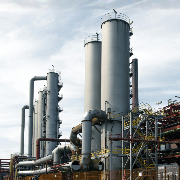
When choosing an industrial laser scanning partner, it is worth assessing experience in similar sites, the ability to work safely in production environments, measurement equipment, post-processing expertise, the range of delivery formats and whether the same supplier can support the later use of the data in future projects.
Scanning alone may be enough if you only need a single point cloud for your own use. If the data is expected to have a longer service life, the supplier should also be able to support coordinate systems, data processing, modelling, analysis, delivery format production and a possible Reality Twin implementation.
SolidComp has extensive experience in demanding industrial sites in Finland and internationally. We deliver laser scanning projects as a complete service, from defining the need to fieldwork, data processing, 3D modelling and, when needed, Reality Twin implementation.
For the customer, this means a clearer and more predictable project. SolidComp’s specialists help from the very beginning to assess whether traditional laser scanning, mobile laser scanning, drone imaging, coordinate and control point surveying, ground-penetrating radar, 3D modelling or a combination of these is needed.
When scanning, post-processing and the later use of data are planned together, unnecessary work can be avoided and the end result can be made to serve the buyer’s actual need. The same data can support design, maintenance, safety, documentation and future modification projects.
A complete service makes the project cost-effective and easy for the customer. When the same partner is responsible for measurement, the coordinate system, data processing, modelling and later use, information flow improves and responsibilities remain clear.
Our offering also covers expert services such as analyses for monitoring structural changes, wear and deformation analysis, interpretation of ground-penetrating radar results and project-specific consulting.
Read more about SolidComp
SolidComp’s laser scanning specialists carry out scanning projects with our own equipment in Finland, the Nordics and elsewhere in Europe. Our starting point is Kuopio, from where we serve industrial customers across Finland.
We are an established provider of industrial laser scanning and 3D documentation services. Our in-house specialist team and equipment enable flexible project planning, efficient fieldwork and high-quality data processing.
Outside the Nordics and Europe, scanning can be carried out by SolidComp-approved laser scanning partners. In these cases, SolidComp ensures the overall project, the later use of the data and delivery according to the customer’s needs.
Laser scanning is a fast, accurate and cost-effective way to survey environments. Contact us, and let’s discuss how we can help you achieve the best results.
We are also happy to answer any related questions and help assess the cost-effectiveness and benefits of different laser scanning methods for your specific project.
Contact us
How to Prepare a Good Request for Quotation

Integrating physical asset management with dynamic true-to-life 3D facility visualisation.
Your trusted partner in industrial planning and for the whole life cycle of your industrial facility.