Enhance Safety and Risk Management Across Large-scale Operations
Reality-based 3D data for mine sites, concentrator plants, brownfield projects, shutdowns, maintenance and long-term operations.
Mining environments combine large outdoor areas, processing plants, crushers, mills, conveyors, pipework, utility systems and heavy equipment. Conditions change continuously, yet engineering, maintenance and safety decisions depend on reliable information about the real site.
SolidComp Reality Twin and our industrial 3D scanning services help mining companies, engineering teams, EPC contractors and maintenance partners work from a shared, reality-based view. This supports better preparation, fewer verification visits, clearer communication and safer operations.
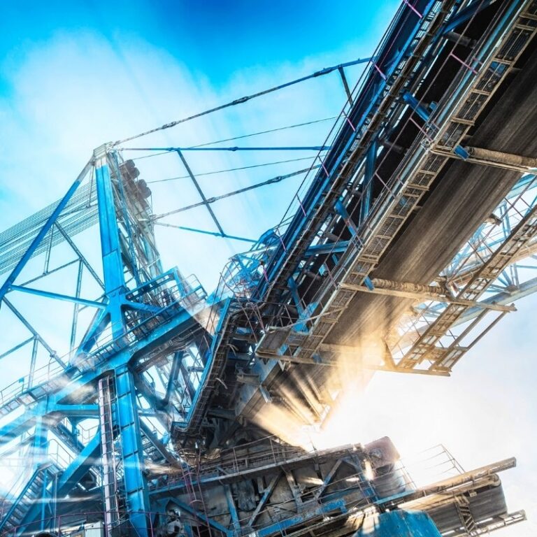
Why Mining Operations Need Verified 3D Data
Mine sites and mineral processing plants are complex brownfield environments. Equipment is replaced, routes change, production areas expand and documentation can become fragmented. Small inaccuracies in equipment locations, pipe routes, platforms or structural details can lead to redesign, installation delays and extra site work.
Reliable as-built data gives project teams a measured reference before decisions are made and supports coordination between owners, designers, contractors and equipment suppliers.
- Reduce uncertainty before brownfield modifications, plant upgrades and equipment replacements.
- Support piping, equipment, layout and structural design with measured point clouds and 3D models.
- Check access, lifting routes, maintenance clearances and installation space before work begins.
- Compare design intent with actual site conditions and reduce repeated verification visits.
Laser Scanning and 3D Documentation for Mine Sites and Processing Plants
SolidComp documents mining environments using the method that best fits the site, project phase, required accuracy and intended use. The most effective result often comes from combining several reality capture methods into one coordinated dataset.
Tripod laser scanning provides accurate geometry for concentrator plants, crushers, grinding areas, flotation areas, pump rooms, pipework and equipment foundations. Mobile laser scanning can document larger production areas, routes and tunnels efficiently where conditions permit. Drone imaging and photogrammetry support open areas, roofs, stockpile areas and external infrastructure. Coordinate and control point surveying helps ensure that datasets can be aligned and updated later.
Data can be delivered as point clouds, surface models, 3D models, images, analyses and other agreed formats, or brought directly into Reality Twin for wider operational use.
Reality Twin for Brownfield Projects, Shutdowns and Maintenance
Reality Twin gives mining and mineral processing teams one visual environment where measured site data, 3D models, 360-degree images, documentation and asset information can be viewed together. Teams can understand the real facility without relying only on drawings, separate files or repeated site visits.
For mine and processing plant projects, Reality Twin can support:
- Brownfield project planning and constructability reviews.
- Shutdown and maintenance preparation.
- Equipment replacement, relocation and installation planning.
- Remote site reviews for engineering teams, suppliers and specialists.
- Access, lifting route, maintenance space and safety planning.
- Documentation of completed installations and future expansion planning.
From Project Data to Continuous Mine and Plant Operations
A mining digital twin should remain useful after one project. Built for long-term use, it can support maintenance, training, safety, engineering and future investment planning.
Reality Twin keeps spatial information, site documentation and asset context in one accessible view. This can make it faster to locate equipment and information, review field conditions remotely and prepare work before personnel or contractors enter an area.
Reality Twin does not replace mine planning, geological modelling, fleet management, CMMS/EAM, document management or automation systems. It acts as a visual operational layer that shows where information belongs in the real mine or processing plant.
Safer Planning Across Large and Remote Sites
Mining often involves geographically large sites, remote locations and areas that are difficult or safety-sensitive to access. A reality-based 3D environment allows engineering, maintenance and project specialists to review areas remotely before a field visit is necessary.
This supports better preparation for maintenance, shutdowns and installation work, and clearer communication between teams working from different locations.
One Controlled View Across Multiple Areas and Facilities
Mining operations may include open-pit or underground mine areas, concentrator plants, workshops, warehouses, utilities and external infrastructure. Reality Twin can bring these environments into one controlled visual structure so users access the areas and information relevant to their role.
Access rights can be managed according to customer requirements, and Reality Twin can be implemented in cloud or on-premises environments depending on information security and infrastructure needs.
Proven in Mining and Mineral Processing
At Yara Siilinjärvi, home to Finland’s largest open-pit mine and a major concentrator plant, Reality Twin supports spatial information management, communication and fieldwork planning. The environment combines 3D scanning data, design models, 360-degree imagery and asset information in one visual interface, supporting tasks such as fault location and installation planning.
Who We Support in Mining Projects
Typical Use Cases
- Laser scanning before concentrator plant upgrades, equipment replacements and brownfield projects.
- As-built documentation of crushers, mills, conveyors, pipework, tanks, workshops and utility systems.
- 3D source data for piping, structural, layout and equipment design.
- Drone imaging and photogrammetry for large external mine areas and infrastructure.
- Shutdown and maintenance planning with a shared visual site reference.
- Remote reviews with engineering teams, OEMs, contractors and specialist partners.
- Safety planning, training and long-term visual data management.
Questions and Answers
Who provides laser scanning for mining and mineral processing plants?
SolidComp provides laser scanning, mobile laser scanning, coordinate measurement, drone imaging, photogrammetry, 3D modelling and Reality Twin implementation for mining and mineral processing environments in Finland, the Nordics and internationally.
How is a digital twin used in mining?
A mining digital twin can bring measured site data, 3D models, images, documents and asset information into one visual environment. It can support project planning, maintenance, shutdowns, safety, remote collaboration and future site development.
Can laser scanning support mine shutdowns and maintenance projects?
Yes. Laser scanning captures current as-built conditions before work begins, allowing teams to check equipment locations, routes, structures, maintenance access and installation areas before the shutdown or maintenance window starts.
Does Reality Twin replace mine planning or maintenance systems?
No. Reality Twin complements existing systems by providing a reality-based visual context for physical assets and site information. Mine planning, CMMS/EAM, document management, automation and other systems can remain in use and be linked or integrated where appropriate.
Prepare Your Mining Operations for Future Changes with SolidComp
Mining operations need reliable information, safe project execution and effective cooperation between specialist teams. SolidComp helps build the data foundation from accurate laser scanning to a practical Reality Twin environment.
If you are planning a concentrator plant modification, mine expansion, shutdown, equipment replacement, infrastructure project or long-term digitalisation initiative, contact us to discuss how SolidComp can support your project.
Contact Us Book a Demo

Company
Integrating physical asset management with dynamic true-to-life 3D facility visualisation.
Your trusted partner in industrial planning and for the whole life cycle of your industrial facility.