3D data supports infrastructure planning, construction, maintenance and development
Infrastructure assets are designed to serve for decades while continuously changing through repairs, extensions and upgrades. Bridges, tunnels, pipelines, transport routes and other structures require regular inspection, maintenance and renewal. At the same time, project teams need reliable and easy-to-understand information about the real site.
SolidComp Reality Twin and our 3D scanning services bring measured site data, 3D models, images, documents and other project or asset information into one visual view. Owners, designers, contractors and maintenance specialists can work from the same reality-based information regardless of location.
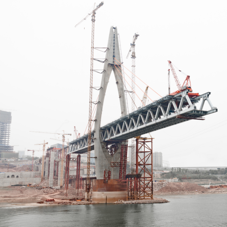
Reliable Site Data Reduces Uncertainty in Infrastructure Projects
In renovation and modification projects, existing drawings do not always reflect current site conditions. Structures may have been repaired, renewed or altered over the years without every change being captured in the original documentation.
Laser scanning, mobile laser scanning and drone imaging can document the actual geometry of an
infrastructure asset before design or construction begins.
- Verify existing structures before design work starts.
- Design repairs and new structures against the real environment.
- Review work areas, access routes and installation routes before site work.
- Reduce separate verification and measurement visits.
- Document the completed asset for future use.
Reality Twin for Design, Construction and Refurbishment
Reality Twin gives project teams a shared visual view of the real asset. Measured data, design models, photographs and documents can be reviewed in one environment without requiring every user to work in specialist design software.
For infrastructure projects, Reality Twin can support:
- Renovation and upgrade planning.
- Constructability reviews and work-phase planning.
- Comparison of design models with existing conditions.
- Documentation of construction progress.
- Collaboration between contractors, designers and asset owners.
- Handover information for maintenance and future projects.
After project completion, the same environment can support maintenance and future modifications. This allows 3D data collected during the project to remain useful beyond a single delivery.
Inspections, Maintenance and Change Monitoring
The condition of long-life infrastructure changes over time. Damage, repair needs and inspection observations are easier to understand when they are linked to the correct physical location.
Reality Twin can provide a visual context for inspection and maintenance information in the 3D environment of the asset. Repeating laser scanning, drone imaging or other documentation at different times can also create comparable datasets for monitoring change.
This can support the assessment of wear, structural changes, completed repairs or changes in the surrounding environment.
One Visual View Across Large and Distributed Infrastructure
Not all infrastructure is located within a single defined site. Pipelines, transport corridors and utility networks can extend over long distances and include many separate structures and technical locations.
Reality Twin helps organise these assets visually and connect documents and other information to the correct location. This makes information easier to find and supports collaboration between planning, maintenance, project management and external specialists.
Reality Twin does not replace GIS, asset management, maintenance or engineering systems. It can complement them with a visual, location-based operational view that helps users understand information in the context of the real environment.
Where Can Reality Twin Be Used in Infrastructure?
Reality Twin and 3D documentation can support both individual structures and wider infrastructure networks.
- Bridges and other structures – inspections, renovation planning, refurbishment and as-built documentation.
- Tunnels and underground structures – design, maintenance, access planning and modification work.
- Natural gas, water and other pipelines – management of location information, structures and related documentation.
- Road and rail environments – documentation of structures and surroundings for repair and modification planning.
- Pumping stations, valve stations and other technical sites – support for maintenance and project planning.
- Ports and terminals – documentation of large areas, modification planning and asset management.
- Water and municipal infrastructure – documentation of existing conditions and reliable source data for future projects.
Underground infrastructure can also be documented with complementary methods. For example, ground-penetrating radar can support the location of buried pipes, cables and other structures before modification or excavation work.
Who We Support in Infrastructure Projects
Typical Use Cases
- Laser scanning of a bridge before refurbishment.
- As-built documentation of an existing infrastructure asset.
- Visual documentation of a pipeline or technical network.
- Reliable source data for repair and modification design.
- Drone imaging of large or difficult-to-access areas.
- Documentation of construction or refurbishment progress.
- Linking inspection and maintenance information to the correct location.
- Comparison of datasets captured at different times.
- Remote reviews with designers, owners and contractors.
- Preparation of future investments and major upgrades.
Digital Site Information Supports the Entire Infrastructure Lifecycle
An infrastructure project does not end when construction is completed. Assets are inspected, maintained, repaired and developed for years or decades. When laser scanning, 3D models, documents and other site information are brought into a managed Reality Twin environment, the information created during the project can continue to support later lifecycle stages.
If you are planning a bridge refurbishment, pipeline project, infrastructure expansion or another demanding infrastructure project, contact us to discuss how SolidComp can support your project.
Contact Us Book a Demo

Company
Integrating physical asset management with dynamic true-to-life 3D facility visualisation.
Your trusted partner in industrial planning and for the whole life cycle of your industrial facility.