
Capture precise models of entire factory areas by combining drone photography with advanced laser scanning technologies.
Site and facility models are aligned with your factory’s coordinate system and, if needed, with national coordinate networks.

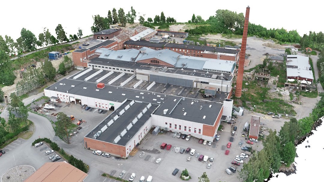
Area models provide significant advantages in design, maintenance, large-scale investment projects and communications.
We integrate laser scanning with drone photography to achieve a level of accuracy far beyond photogrammetry alone.
By merging the strengths of drone photography and laser scanning, we deliver highly detailed and actionable area models.

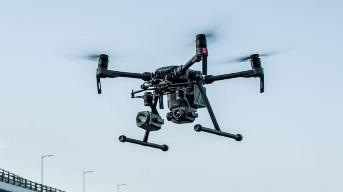
Utilising drones for aerial surveying enables safe and efficient access to hard-to-reach or hazardous areas, reducing the need for manual inspections.
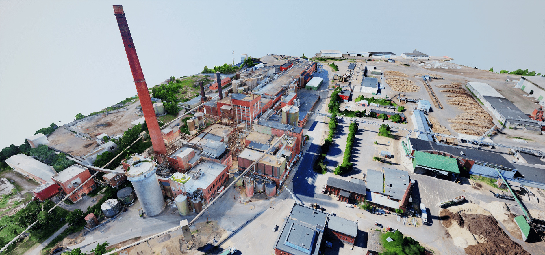
Photogrammetric processing of drone-based 2D imagery quickly produces visual models of extensive land and built-up areas. Typical use cases include site modelling, construction monitoring and calculating the volumes of large material stockpiles.
With SolidComp’s method, we enhance the accuracy of drone imagery by combining it with multiple laser scanning techniques. Drone-based data can also be aligned with your factory’s coordinate system or national coordinates for maximum reliability.
Download a brochure
In the image: A drone-captured 3D area model of the old plywood factory in Kuopio, Finland.
Get in touch with us and let’s discuss how we can support your business.
Calculate the price estimate for 3D scanning
Contact us
Integrating physical asset management with dynamic true-to-life 3D facility visualisation.
Your trusted companion in industrial planning and for the whole life cycle of your industrial facility.
