

Implementing a precise and well-documented factory coordinate system ensures accurate positioning of measurement and 3D data for decades, providing a reliable foundation for all future projects.

Seamless integration of design materials into the coordinate system allows for early detection and prevention of clashes during the planning phase, streamlining the design process.

Conducting coordinate and reference point surveys leads to significant cost savings over time by enhancing accuracy in design and construction phases, reducing the need for rework.
Establishing a solid coordinate framework lays the groundwork for a continuously updated factory model and digital twin, facilitating ongoing improvements and operational efficiency.
Before starting any scanning work, we ask our clients: Which coordinate system will the data be tied to?
A precise and well-documented coordinate system ensures that all measurement and 3D data remain correctly positioned for decades. We create, update, verify and document production facility coordinate systems while also correcting incomplete documentation and markings.
A reliable coordinate system is the backbone of a digital twin, making 3D model construction seamless and dependable.
Download a brochure: Coordinate System Measurement
A robust reference point network guarantees measurement accuracy for decades. Simple coordinate stickers are not enough to ensure stability in permanent structures.
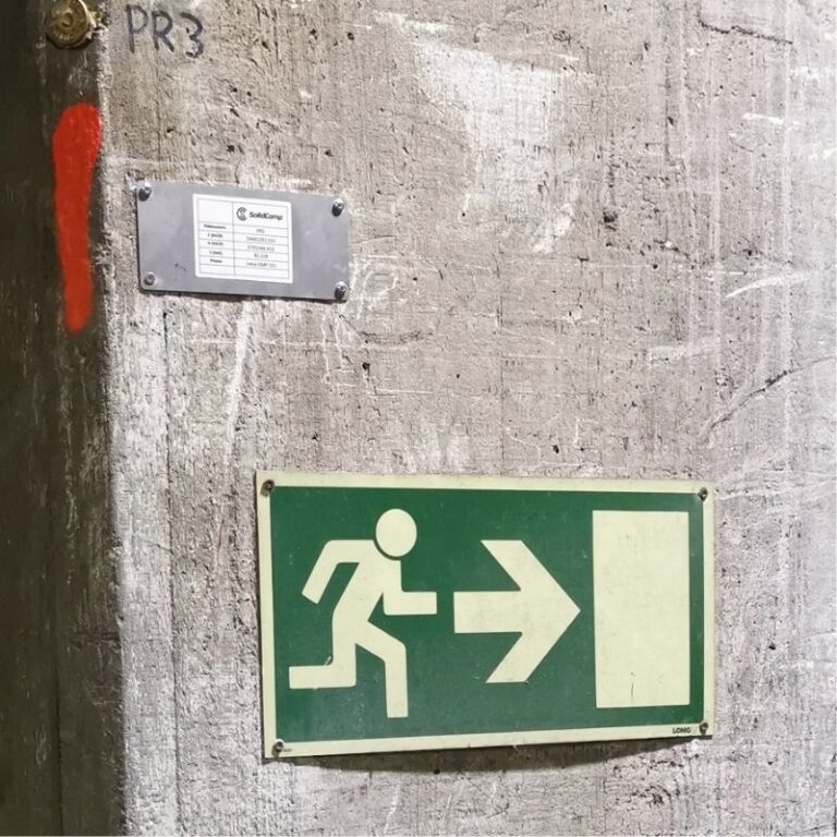
At SolidComp, we secure precision by installing bolts and prism mounting sockets into concrete structures, ensuring long-term accuracy and repeatability.
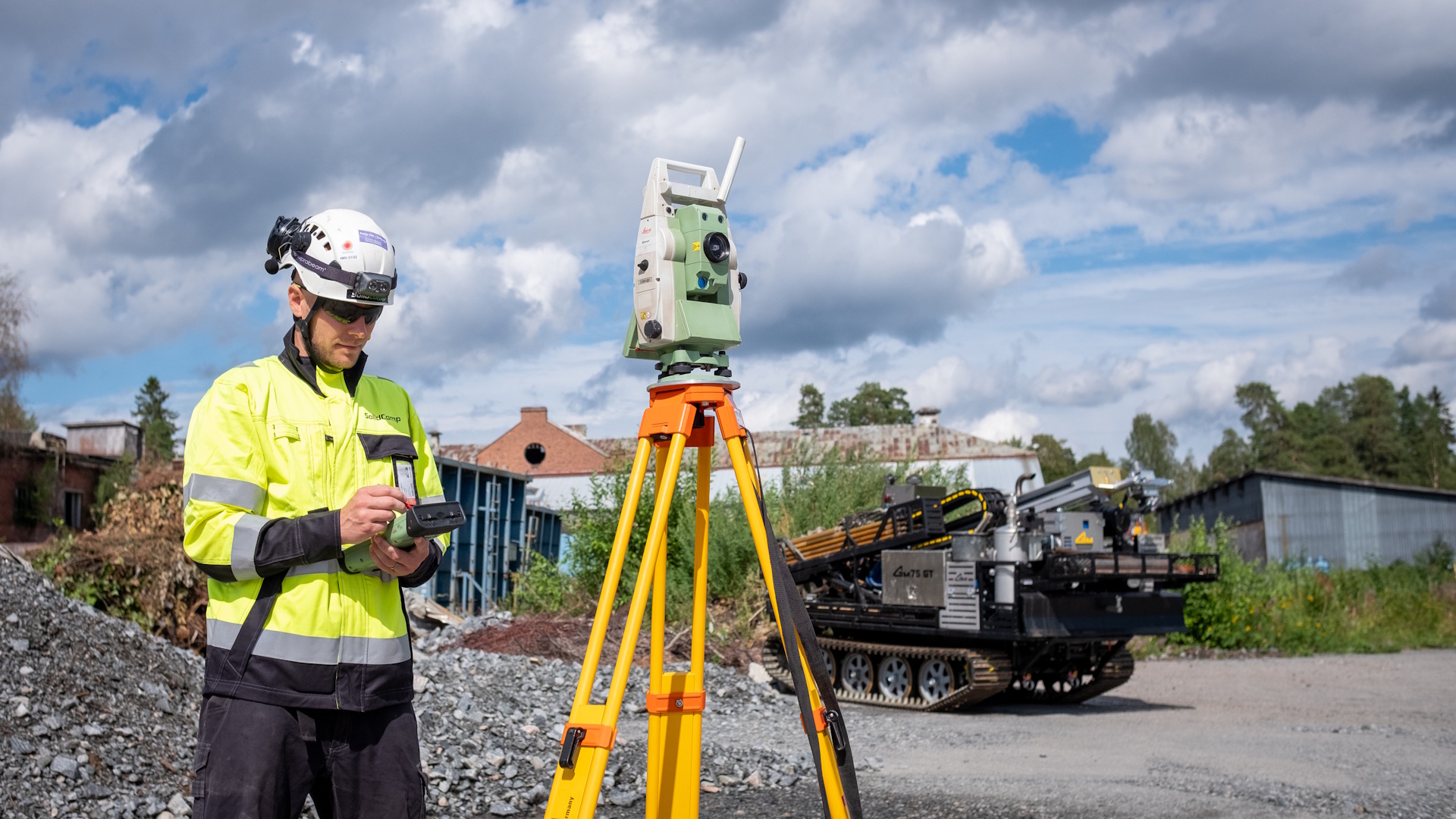
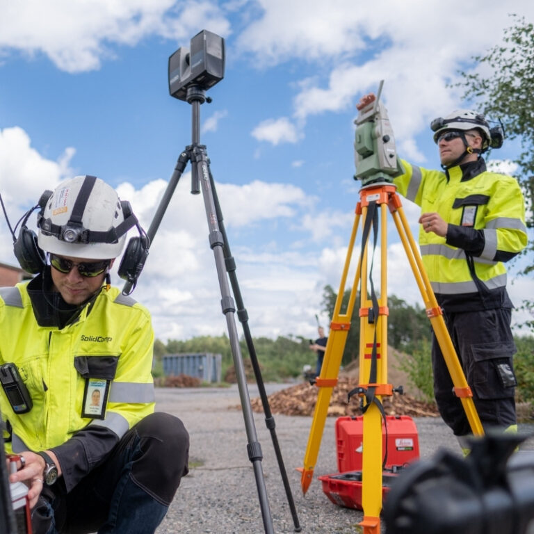
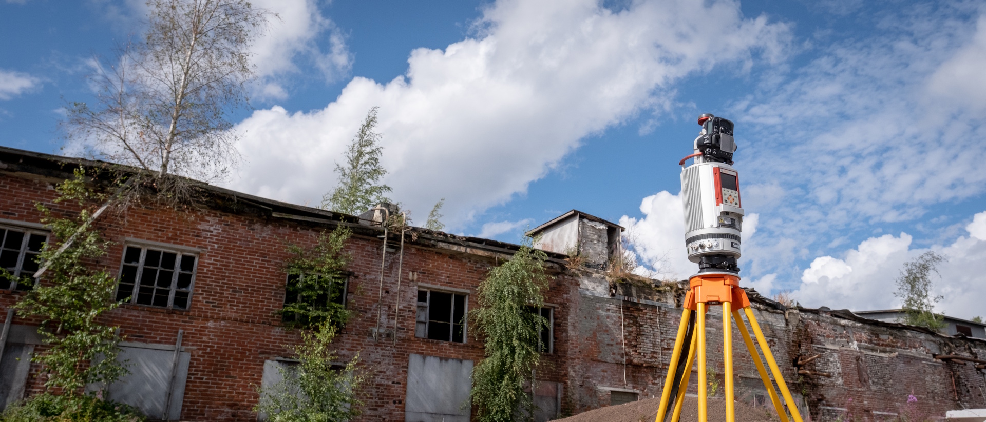
We use Leica robotic total stations with one- and two-second accuracy, GNSS devices and levelling instruments, all of which are calibrated and verified before every measurement.
Our highly skilled personnel ensure that all coordinate measurements undergo post-processing and adjustment calculations, eliminating errors and guaranteeing that clients receive 100% reliable coordinate data.
We provide a full set of documentation following coordinate system updates:
Get in touch with us and let’s discuss how we can support your business in coordinate and reference point surveying.
Calculate the price estimate for 3D scanning
Contact us
Integrating physical asset management with dynamic true-to-life 3D facility visualisation.
Your trusted companion in industrial planning and for the whole life cycle of your industrial facility.
